Jacques Cumenges
By Jacques Cumenges • 3 September 2020 • 12.2 km Hiking

Départ du refuge. Alt 2580 m.

Au loin le Parc National des Ecrins.


Au Col Vieux 2806 m.
2865 m

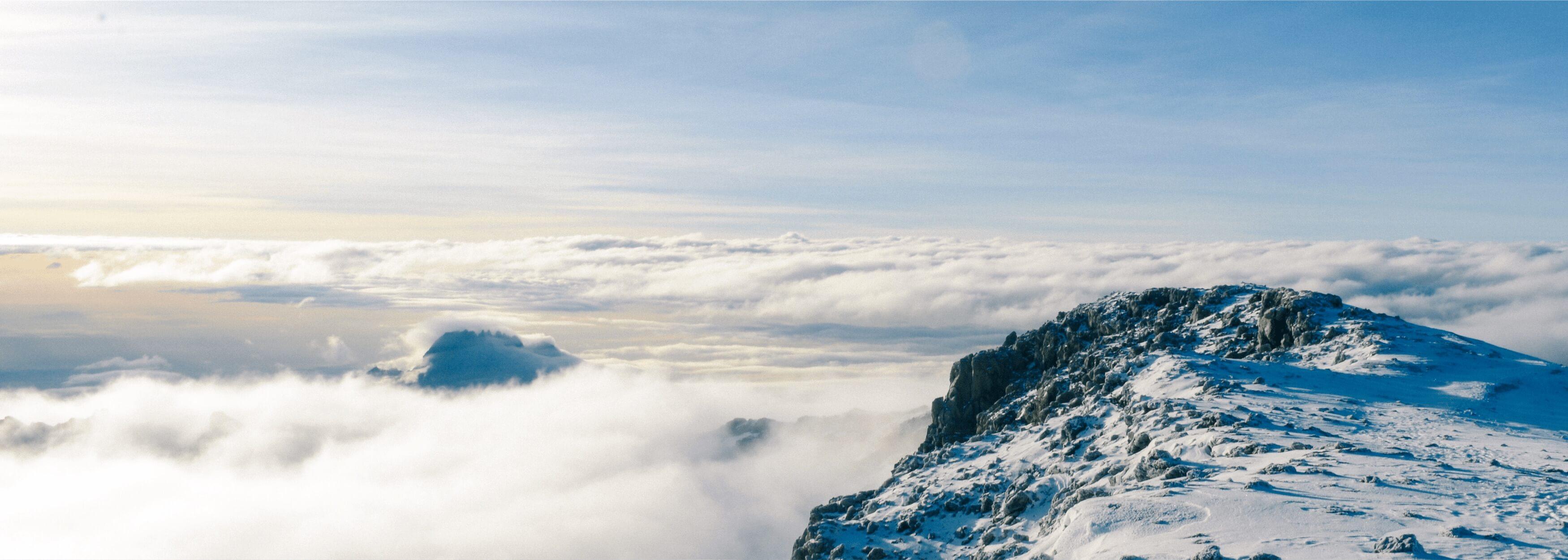
Crête de La Taillante alt 3178 m

Le lac Foréan alt 2678 m.

Au loin le lac Egorgéou.

Lac Foréant et derrière nous le Pain de Sucre.


Au bord du lac Egourgéou alt 2394 m.

Début d'une longue descente.

Ouverture sur le Mont Viso alt 3841 m.


Fin de rando gîte la Monta. 13,33 km - DCP 334 M - DCN 1219 m.

View your adventures, add your photos and share the best ones with your friends and family. Get the Relive app for Android!
View your adventures, add your photos and share the best ones with your friends and family. Get the Relive app for iPhone!